[ad_1]
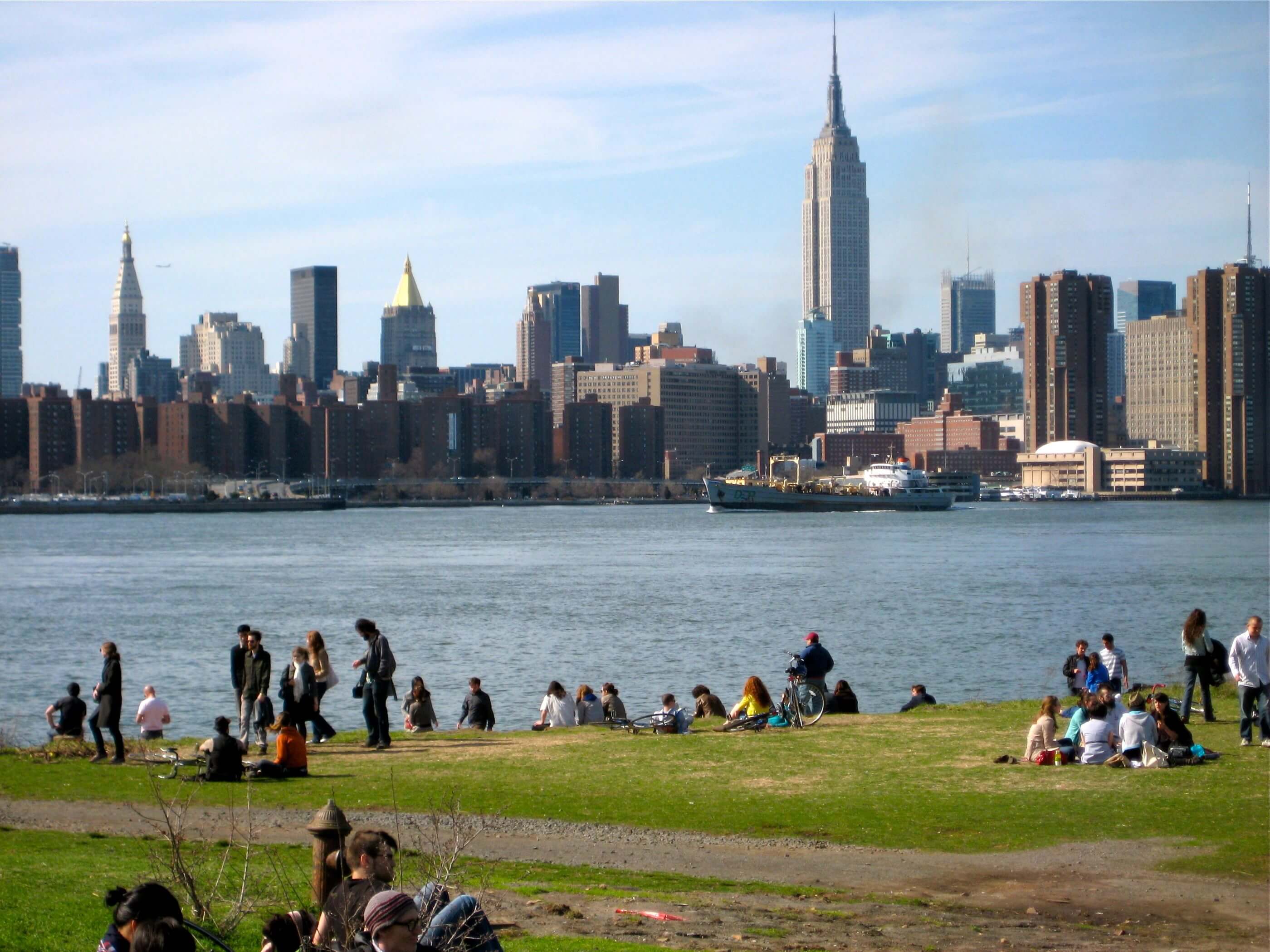
We’re one week out from the unofficial first day of summer, which means New Yorkers will join their fellow Americans enjoying Memorial Day weekend in backyards, parks, pools, and beaches. The latter are abundant in New York, which boasts 520 miles of coastline; if all of those serene marshy inlets, Atlantic shores, and fetid industrial canals were pieced together, they’d be about equal in length to the drive between Manhattan and Raleigh, North Carolina.
Most of us roughly know where the nearest body of water is, but it’s not always obvious which spaces are open to the public and what activities are permitted therein. Fortunately, the New York City Department of City Planning (DCP) is here to help with a new report and updated waterfront map.
As its sizzling title suggests, Assessing New Yorkers’ Access to NYC’s Waterfront profiles the city’s accessible water-adjacent areas, with information on whether it’s okay to fish, kayak, picnic, hike, or sunbathe topless. (For the record, that last one is legal at all New York City public beaches, even if prudish cops in the Rockaways say otherwise.) The new report complements the agency’s Comprehensive Waterfront Plan, released last year, that outlines challenges and opportunities for the shoreline.
The report’s May 20 release coincides with an update to DCP’s Waterfront Access Map. First released in 2018, the map offers New Yorkers a digital atlas of beach and riverfront access in the five boroughs. In addition to telling you what you can do at each site, the map also shows how you can get there by foot, bike, or transit.
In a municipality that’s basically three islands and…the Bronx, most of the city’s 8.5 million residents live pretty close to the water: DCP’s urban planners found that 80 percent the population lives within a 30-minute train or bus ride from the waterfront. Included in that figure are the 3 million New Yorkers who live a half-mile or less from a body of water, with two of those 3 million living a half-mile from a waterfront park or green space.
But proximity doesn’t guarantee equal or equitable access, the city noted. Advocacy organizations like the Waterfront Alliance echoed that point and called for more to be done to expand access:
“While we celebrate the many new waterfront access points created in recent years, some communities do not have adequate access due to former industrial sites on the water, zoning, and a history of disinvestment in underserved communities. Moreover, opportunities to physically engage with the water through recreational boating and even swimming are very limited across New York City,” said Karen Imas, vice president of programs for Waterfront Alliance, in a press release. “We commend City Planning for exploring pathways to open new waterfronts and connect communities to local waterfronts. There are still miles of coastline entirely unused and cut off from communities and we look forward to working with the City of New York to bring all the benefits of open space, green infrastructure, and recreational opportunities to those communities that need them the most.”
For those looking to plan a trip at home or on the go, the Waterfront Access Map is accessible on desktop and mobile devices.
[ad_2]
Source link


